The Neponset River Watershed Association is pressing Milton-area residents to submit comments on a $10 billion federal flood protection plan before a Friday, Sept. 18, deadline.
The U.S. Army Corps of Engineers released a draft Boston Coastal Storm Risk Management Feasibility Report on July 24 after four years of work with the City of Boston.
The plan proposes roughly 20 infrastructure projects along 16 miles of Boston's 47-mile coastline, targeting five neighborhoods: East Boston, Charlestown, Downtown/North End, South Boston and Dorchester. The Corps estimates the projects would cost more than $10 billion over the coming decades. Federal funding would cover about 65%, with the remaining 35% split among Boston, Massachusetts and other local partners.
Without action, the Corps projects $54 billion in losses between 2040 and 2090 from coastal flooding, PropertyCasualty360 reported.
"The reality is that doing nothing is not a viable option," Lt. Col. David MacPhail, deputy commander of the Corps' New England District, said in an Aug. 20 statement. "Without action, the costs to public safety and economic vitality from coastal flooding will only be compounded."
Why it matters along the Neponset
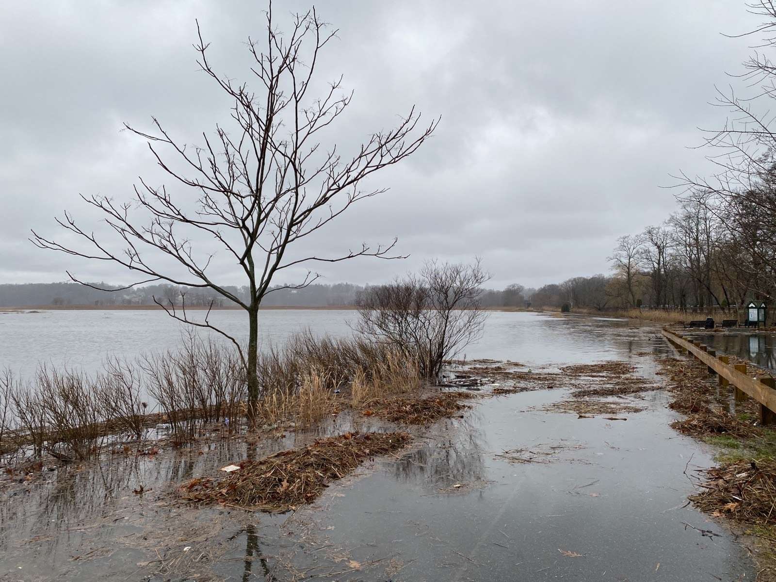
NepRWA's concern centers on the Neponset Estuary, a state-recognized Area of Critical Environmental Concern that borders Milton and Dorchester. The estuary holds nearly 400 acres of salt marsh that buffer floodwaters and reduce wave intensity. Those marshes support more than 200 species of birds and wildlife, including the Saltmarsh Sparrow, a state Species of Special Concern.
The stakes are high.
In a Tuesday, Sept. 8, action alert, NepRWA argued the draft plan relies too heavily on levees and floodwalls. The organization said proposed berms would cut salt marshes off from upland areas, blocking the marshes from migrating inland as sea levels rise. That would convert the marshes to mudflats, NepRWA warned.
The group also contends that leaving nature-based solutions out of the design phase now could make them ineligible for federal cost-sharing later, shifting more expense to Boston and Massachusetts.
NepRWA recently completed a two-year study of the estuary. The study found that restoring and protecting existing salt marshes can reduce flooding from annual storms and monthly tidal events.
Three scenarios, one completed design
The draft report lays out three scenarios: no action, a comprehensive plan and an incremental early-actions plan focused on levees. Only one design in the Dorchester section has a completed design: a floodwall and levee behind Day Boulevard near Moakley Park, included in the early-action plan.
Two proposed action areas in the Neponset/Dorchester section, Tenean Beach at Conley Street and Neponset Circle near the MBTA Red Line bridge, are considered critical to reducing inland flooding that disrupts roadways, the Neponset Greenway trail and nearby homes and businesses.
How to comment
Residents can submit comments through the Army Corps' online comment form or by email to [email protected] before Friday, Sept. 18. NepRWA has posted a sample comment letter at neponset.org. Questions can be directed to NepRWA River Restoration Director Sean McCanty at [email protected].